Daytona waterfront districts
Daytona Riverfront
Build a riverfront interface file
Trace the connections between a private wall, city outfalls, downtown parks and marina utilities before requesting a repair scope.
Explore Daytona RiverfrontStart with the parcel and water frontage. These fourteen guides cover different permit authorities, public project records and shoreline questions from Ormond-by-the-Sea to Bethune Beach and Edgewater.
Explore the Halifax River, Atlantic frontage and southern Volusia communities. Use the full directory for all fourteen guides.
Choose a label to open local resources →Tap a community on the map or below ↗
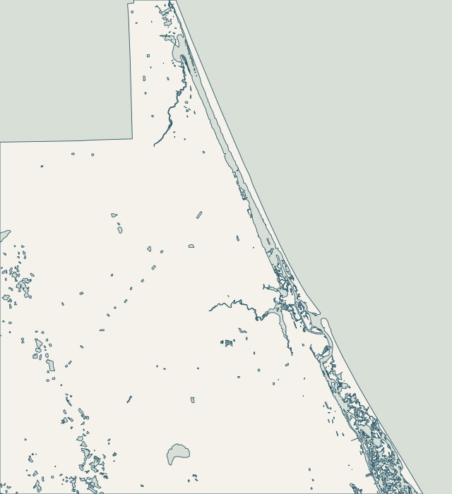
Choose a guide for local maps, permit starting points and the records to gather for your property.
14 local guides
Build a riverfront interface file
Trace the connections between a private wall, city outfalls, downtown parks and marina utilities before requesting a repair scope.
Explore Daytona RiverfrontStart with the exposure, then the approval route
Choose the Atlantic or Halifax route first, then coordinate the wall with dunes, decks, walkovers and occupied-property access.
Explore Daytona BeachsideTurn the Ormond checklist into a submittal index
Work through the city’s dedicated checklist, including photographs, digital seals, outside approvals and the official payment channel.
Explore Ormond BeachConfirm county jurisdiction before preparing drawings
Check the unincorporated parcel and county permit route before borrowing an Ormond Beach application or fee assumption.
Explore Ormond-by-the-SeaAssemble one consistent permit and contractor file
Confirm the current submission process and insurance documents, then identify any connection to public Riverside Park infrastructure.
Explore Holly HillCreate a drainage-and-wall observation record
Separate private wall observations from Reed Canal and public drainage questions with a useful location and weather record.
Explore South DaytonaPrepare a coordinated oceanfront package
Use the Shores’ own permit records and coordinate oceanfront wall work with building setbacks, pool decks and beach access.
Explore Daytona Beach ShoresUse the parcel record to build the project history
Search SmartGov after confirming jurisdiction, and include grading, drainage and equipment access in the city inquiry.
Explore Port OrangePrepare a wall-end and access drawing
Plan wall-end transitions, neighboring access and dune restoration through the county and coastal approval routes.
Explore Wilbur-by-the-SeaName the frontage before collecting bids
Identify ocean, inlet or river frontage and check town records before choosing the construction approach and access route.
Explore Ponce InletCheck jurisdiction and facility type first
Coordinate wall and dock work with slip records, county facility review and airport questions when a crane is proposed.
Explore New Smyrna RiverfrontPrepare an oceanfront scope that reaches beyond the wall
Keep dune and walkover work in the project limits, and confirm the city boundary before starting an application.
Explore New Smyrna BeachsideTrack the job from submitted file to inspection record
Follow the current digital submission process and keep permit, payment and inspection identifiers together through closeout.
Explore EdgewaterBegin with the parcel and shoreline setting
Distinguish Atlantic armoring from lagoon-side work, with county jurisdiction, habitat and nearby walkover records in view.
Explore Bethune Beach & Silver SandsCounty permits, beach and dune review, habitat and project records.
Tell us where your property is and what needs attention.
You don’t need to know the repair yet. Start with what you’ve noticed.