
Seawall repair in Wilbur-by-the-Sea
Plan Wilbur-by-the-Sea seawall work with county jurisdiction, Egret Avenue records, dune review and DEP coastal contacts. Check access and neighboring transitions.
Describe your project on this page ↓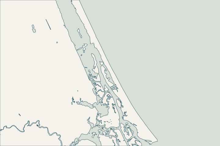
At a glance
- Confirm the unincorporated parcel and county permit route.
- Identify any connection to Egret Avenue or another public access point.
- Include wall ends, dune restoration and equipment staging in coastal review.
Get to know your waterfront
Wilbur-by-the-Sea is identified as unincorporated on Volusia’s coastline map. Its narrow coastal setting makes the relationship among a private wall, public access point, dune and neighboring wall worth resolving early. The county’s historical asset inventory names Egret Avenue seawall/walkover work and separately lists Toronita Avenue and the Wilbur Boathouse. Use those records to identify the correct public asset; they are not current opening notices or permission for contractor access.
Volusia County Habitat Conservation Plan · Volusia beach feasibility assessment posters · Volusia coastal asset status, February 9, 2024 · Volusia Building and Code Administration
Find the relevant permits and records
| Starting point | What to resolve | Prepare and look up |
|---|---|---|
Volusia Permit Center | Building permits for unincorporated property. | Confirm the parcel; 386-736-5929. Use Connect Live for the county record. |
Volusia Environmental Management | Beach and Dune review in addition to other approvals. | Include dunes, armoring, access and walkovers; specialist: 386-238-4773. |
Florida DEP coastal program | CCCL and coastal armoring questions. | Volusia CCCL: 850-245-7680. Statewide armoring: 850-245-8419. |
Resolve the gaps at access points and property edges
Ask the designer to draw each wall end, return and connection to neighboring protection. Record the dune and public access boundary beside the parcel. A continuous-looking line of walls can still contain separate ownership, elevations and maintenance responsibilities.
The county study places Wilbur between R-122 and R-128 for regional analysis. Do not use that reach boundary, or its regional averages, as a survey or required construction elevation.
Local records to bring into the conversation
- Volusia’s coastline map identifies Ormond-by-the-Sea, Wilbur-by-the-Sea and Bethune Beach as unincorporated.
- The study identifies Wilbur-by-the-Sea between reference monuments R-122 and R-128.
- The February 2024 inventory identifies an Egret Avenue walkover/seawall repair in Wilbur-by-the-Sea.
- The same inventory separately lists Toronita Avenue beach access and the Wilbur Boathouse pier and kayak-launch facilities.
- Volusia’s Permit Center lists 386-736-5929 and PermitCtr@volusia.gov for building-permit and inspection questions.
Volusia County Habitat Conservation Plan · Volusia beach feasibility assessment posters · Volusia coastal asset status, February 9, 2024 · Volusia coastal asset status, February 9, 2024 · Volusia Building and Code Administration
Prepare a wall-end conversation with the neighbor
Use the survey to identify the wall end, any return and the neighboring transition. Note any public access between the parcels.
- Does the work depend on a neighbor granting access?
- Who restores the dune or walkover affected by the route?
- What happens if the adjacent owner is not doing work?
Ask the designer to show the proposed transition. Keep historic Egret or Toronita records as context while confirming today’s access permission independently.
Volusia coastal asset status, February 9, 2024 · Volusia coastal asset status, February 9, 2024 · Volusia County Beach and Dune Permit
Prepare a wall-end and access drawing
Use this sequence to prepare the property file and resolve the local questions.
Establish the county route
Confirm the parcel and use the Volusia Permit Center.
Volusia County Habitat Conservation Plan · Volusia Building and Code Administration
Identify the public asset
Name Egret, Toronita or the relevant access point if the work actually adjoins it.
Review the coastal scope together
Include dune work, wall ends, staging and restoration in the county and DEP inquiries.
What could the work cost?
Include wall-end details, permitted beach access, dune restoration and any walkover interface. Keep neighbor coordination separate from an assumed shared contract or discount.
Start with published Florida price ranges, then refine the budget with a written quote for your property.
Compare quotes and plan a budget →Prepare your Wilbur-by-the-Sea project notes
Record the address, water frontage, visible concern and any decision deadline. Add existing plans and photographs when available.
You don’t need to know the repair yet. Start with what you’ve noticed.
Wilbur-by-the-Sea project questions
Is Wilbur permitted through Daytona Beach Shores?
Do not assume that from proximity or a postal address. Volusia identifies Wilbur-by-the-Sea as unincorporated; confirm the parcel with the county.
Can I rely on the 2024 access-status sheet for today’s work?
No. It is a dated record of assets and repair status. Confirm current access and construction permissions with the responsible authority.
Keep planning
Nearby waterfront guides
Show sourcesHide sources
- Volusia County Habitat Conservation PlanSource reviewed 2026-10-25
- Volusia beach feasibility assessment postersSource reviewed 2026-10-25
- Volusia coastal asset status, February 9, 2024Source reviewed 2026-10-25
- Volusia Building and Code AdministrationSource reviewed 2026-10-25
- Volusia County Beach and Dune PermitSource reviewed 2026-10-25
- DEP CCCL managersSource reviewed 2026-10-25