
Seawall repair in Ormond-by-the-Sea
Check Ormond-by-the-Sea seawall planning with county permit contacts, Atlantic and river-side questions, coastal study boundaries and beach-access records.
Describe your project on this page ↓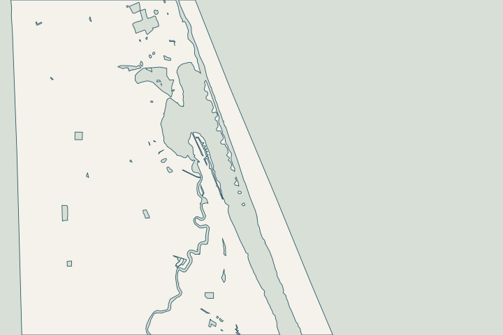
At a glance
- Check whether the parcel is in unincorporated Volusia.
- Use county records for the wall, dock and related site work.
- Separate Atlantic dune and access questions from river-side repair questions.
Get to know your waterfront
An Ormond Beach mailing label can conceal an important permit difference. Volusia’s coastal map identifies Ormond-by-the-Sea as unincorporated, and the county’s 2025 beach assessment treats it separately from the City of Ormond Beach. Establish the parcel’s authority before commissioning a permit package. Along the peninsula, describe whether the project fronts the Halifax side or Ocean Shore Boulevard’s Atlantic side; the construction and coastal-review questions will differ.
Volusia County Habitat Conservation Plan · Volusia beach feasibility assessment posters · Volusia coastal park locations · Volusia Building and Code Administration
Do not use the beach study as a parcel survey
The 2025 study’s R-16 to R-47 reach provides regional context. It is not a property boundary, current wall-condition report or required cap elevation. Bring the actual survey and ask the designer to locate the wall, dune and nearby structures.
Tom Renick Park is a public reference point on Ocean Shore Boulevard. Public park or beach access does not confer a right to move construction equipment through it. Resolve the contractor’s proposed route with the responsible owner and agencies.
Local records to bring into the conversation
- Volusia’s coastline map identifies Ormond-by-the-Sea, Wilbur-by-the-Sea and Bethune Beach as unincorporated.
- The study separates Ormond-by-the-Sea (R-16–R-47) from Ormond Beach (R-47–T-67).
- Volusia locates Tom Renick Park at 1565 Ocean Shore Boulevard in Ormond-by-the-Sea.
- Volusia’s Permit Center lists 386-736-5929 and PermitCtr@volusia.gov for building-permit and inspection questions.
- Volusia uses Connect Live for online permitting; online-service questions are directed to 386-736-5943.
Volusia County Habitat Conservation Plan · Volusia beach feasibility assessment posters · Volusia coastal park locations · Volusia Building and Code Administration · Volusia Building and Code Administration
Keep the postal address and permit authority separate
Put the parcel number, confirmed jurisdiction and water frontage at the top of your project notes. Save the county’s response if the boundary is unclear.
- For Atlantic work, identify dune and access effects.
- For river-side work, identify docks, outlets and the proposed footprint.
- Request the records held by the issuing authority.
Send that same location brief to the designer and bidders. It helps prevent a city-specific checklist or fee assumption from entering a county project.
Volusia County Habitat Conservation Plan · Volusia Building and Code Administration
Find the relevant permits and records
| Starting point | What to resolve | Prepare and look up |
|---|---|---|
Volusia Permit Center | Building permits for unincorporated property. | Confirm the parcel; 386-736-5929. Use Connect Live for the county record. |
DEP / SJRWMD; federal review as applicable | Environmental authorization, exemption verification and submerged-lands questions. | Provide the same existing/proposed alignment, backfill and related dock scope to each reviewer. |
Volusia Environmental Management | Beach and Dune review in addition to other approvals. | Include dunes, armoring, access and walkovers; specialist: 386-238-4773. |
Florida DEP coastal program | CCCL and coastal armoring questions. | Volusia CCCL: 850-245-7680. Statewide armoring: 850-245-8419. |
What could the work cost?
Price the actual access and restoration route. Do not assume a municipal fee waiver or a neighboring city’s checklist applies to an unincorporated parcel.
Start with published Florida price ranges, then refine the budget with a written quote for your property.
Compare quotes and plan a budget →Confirm county jurisdiction before preparing drawings
Use this sequence to prepare the property file and resolve the local questions.
Check the parcel
Use the county record to distinguish Ormond Beach from unincorporated Ormond-by-the-Sea.
Search the county permit history
Request seawall, dock and related site records through the county process.
Classify the frontage
Include Atlantic dune/access work in the coastal inquiry; describe river-side scope separately.
Prepare your Ormond-by-the-Sea project notes
Record the address, water frontage, visible concern and any decision deadline. Add existing plans and photographs when available.
You don’t need to know the repair yet. Start with what you’ve noticed.
Ormond-by-the-Sea project questions
Should I apply to Ormond Beach because that is my mailing city?
Confirm the parcel first. The county identifies Ormond-by-the-Sea as unincorporated and provides the county building-permit route.
Volusia County Habitat Conservation Plan · Volusia Building and Code Administration
Does a regional coastal elevation tell me how high my wall must be?
No. The county study uses regional planning metrics. Obtain a surveyed cap elevation and ask the reviewing authority and designer what applies to the specific project.
Volusia beach feasibility assessment posters · NOAA survey datum questions
Keep planning
Nearby waterfront guides
Show sourcesHide sources
- Volusia County Habitat Conservation PlanSource reviewed 2026-10-25
- Volusia beach feasibility assessment postersSource reviewed 2026-10-25
- Volusia coastal park locationsSource reviewed 2026-10-25
- Volusia Building and Code AdministrationSource reviewed 2026-10-25
- DEP ERP e-PermittingSource reviewed 2026-10-25
- St. Johns River Water Management District permittingSource reviewed 2026-10-25
- Volusia County Beach and Dune PermitSource reviewed 2026-10-25
- DEP CCCL managersSource reviewed 2026-10-25
- NOAA survey datum questionsSource reviewed 2026-10-25